
Water And Data Scientists Team Up Against Harmful Algae
Context
Cyanobacteria, also known as blue-green algae, proliferate when conditions are favourable: warmth, sunlight, nutrients, and stagnant water. Due to climate change and increased human activity near water bodies, these bloom events are becoming more frequent and lasting longer.
Challenge
These blooms are not only unappealing; they present an actual threat as they may release dangerous toxins (cyanotoxins) that can impact:
- Human health: skin irritations, digestive issues, neurological disorders, and even severe poisoning.
- Animal health: every year, fatal poisoning cases are reported among dogs, livestock, and aquatic wildlife.
- The economy: closed beaches, losses to tourism industry, additional costs of drinking water treatment, impacts on fishing and agriculture.
- Ecosystems: decreased dissolved oxygen, higher mortality among fish and other aquatic species, and long-term imbalances in the food chain.
“Today, traditional monitoring methods only allow us to detect cyanobacteria once they are already visible. At this stage, it is often too late to effectively protect populations, limit economic impacts, and preserve the environment.”

This is why it has become urgent to move from a reactive approach to a predictive one.
Solution
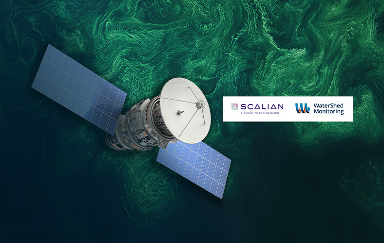
To create a tool capable of anticipating cyanobacterial blooms, WaterShed Monitoring’s team turned to new technologies: data exploitation by AI opens up new possibilities for monitoring water resources.
The water scientists therefore entered into an innovative partnership with data scientists from the SCALIAN group, an engineering consulting firm specializing in digital technologies. The goal: to jointly design an accessible predictive solution that enables public health authorities, beach operators, and other water body users (such as drinking water producers, fishers, farmers, and livestock breeders) to receive early warnings so they would no longer be caught off guard by cyanobacteria blooms.
With support from the National Centre for Space Studies in France (CNES) and the European Space Agency (ESA), the project underwent a feasibility study in 2021, which delivered promising results confirming both market interest and technological feasibility.
The solution named Nerthus leverages artificial intelligence to extract information from various terrestrial and satellite data sources. Deep learning then provides an indicator of the possible emergence of cyanobacterial blooms in a targeted geographic area.
“It’s like weather forecasts for cyanobacteria. Knowing when these bacteria are likely to show up allows water managers to implement their protection plans and mitigation measures before it’s too late. It’s the only way to prevent human and animal exposure to cyanotoxins and avoid the consequences.”

Results
Since 2022, the teams at WaterShed Monitoring and Scalian have been working on industrializing Nerthus, strengthening the AI models with additional data sources to increase the accuracy and robustness of predictions. At the same time, a user-friendly web interface has been developed so users can view in a few clicks the forecasts for their selected water bodies.
During the summer of 2025, initial beta-testing began with partners in Canada and Europe. These extensive trials mark a key milestone: they allow to assess the relevance of different features, to test the system performance in real-world conditions, and to gather user feedback. The insight from these trials plays an important role in enhancing the user experience and polishing predictive models. They also reflect growing interest from stakeholders, who are discovering a tool capable of transforming the way they approach water body management.
Become a Groundbreaker!
Subscribe to Nerthus today to benefit from an exclusive offer for early adopters and contribute to shaping tomorrow’s tool.
Curious to see Nerthus in action?
👉 Reach out now and be one of the very first to anticipate the invisible!